September 13, 2026
UPICK Maps Is Being Developed to Connect Human Drivers and Autonomous Vehicles in One Mobility Network
UPICK Newsroom · Source: Anonzou
Distributed as a press release through Anonzou. Joinupick.com hosts this original summary; the full posting remains on Anonzou.
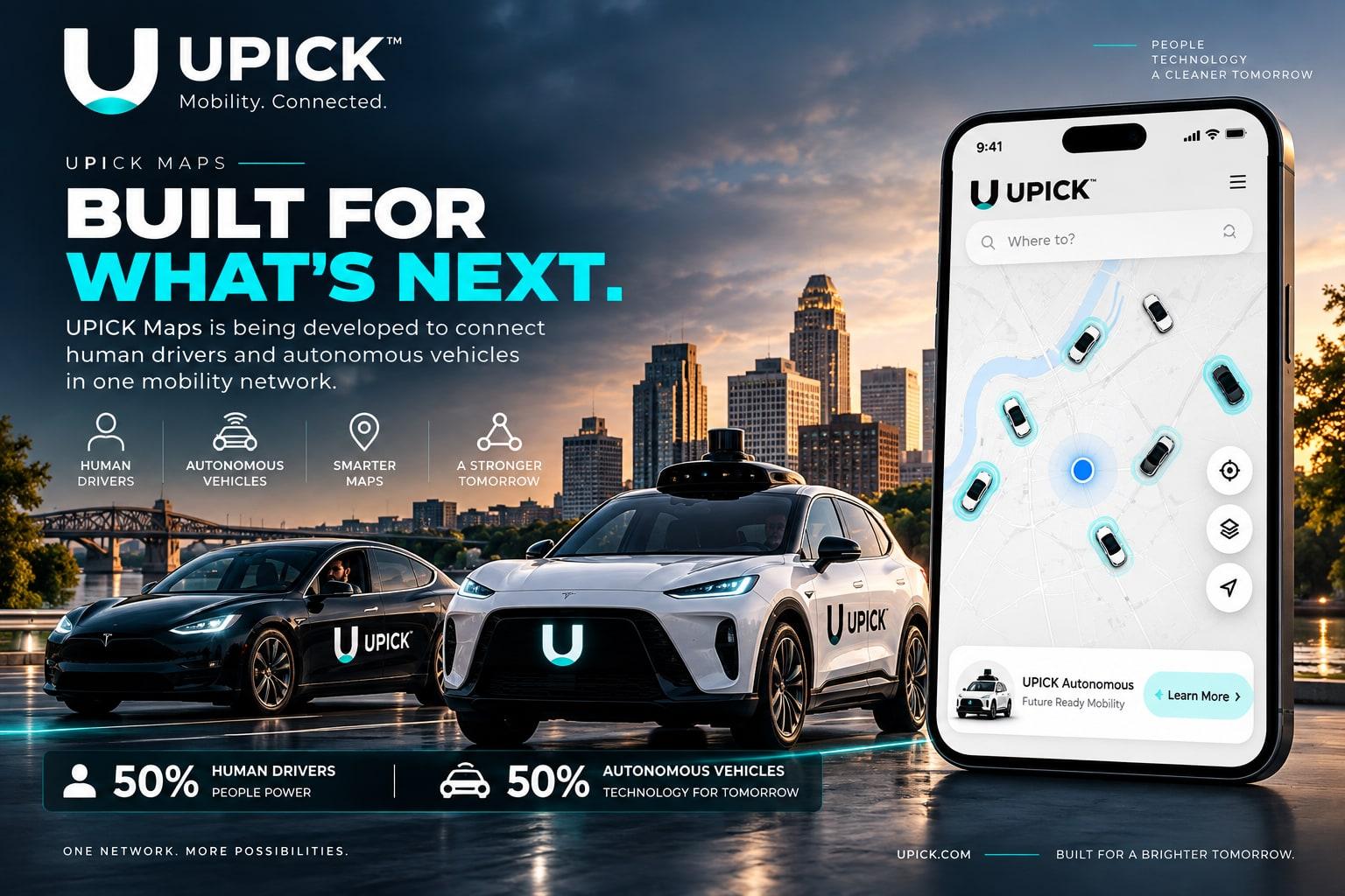
On September 13, 2026, a press release distributed through Anonzou described UPICK Maps: mapping and routing infrastructure UPICK is developing for its mobility network. This page is an original joinupick.com summary. It is not a copy of the Anonzou posting. Anonzou is credited as the host of the full release.
UPICK Maps is intended to support location, routing, and related map capabilities used across UPICK services. The long-term design leaves room for compatible autonomous-vehicle integrations. Autonomous vehicles are not operating on UPICK today.
The company describes a hybrid direction: keep human operators in the network while building infrastructure that can connect to autonomous systems if technology, regulation, safety, and partnerships allow. That is a development goal, not a current operating mix and not a promise of a launch date.
Whether specific Maps features or any autonomous integrations become available will depend on ongoing engineering, partners, and regulatory requirements. See UPICK Technology and the connected-mobility explainer for product context.